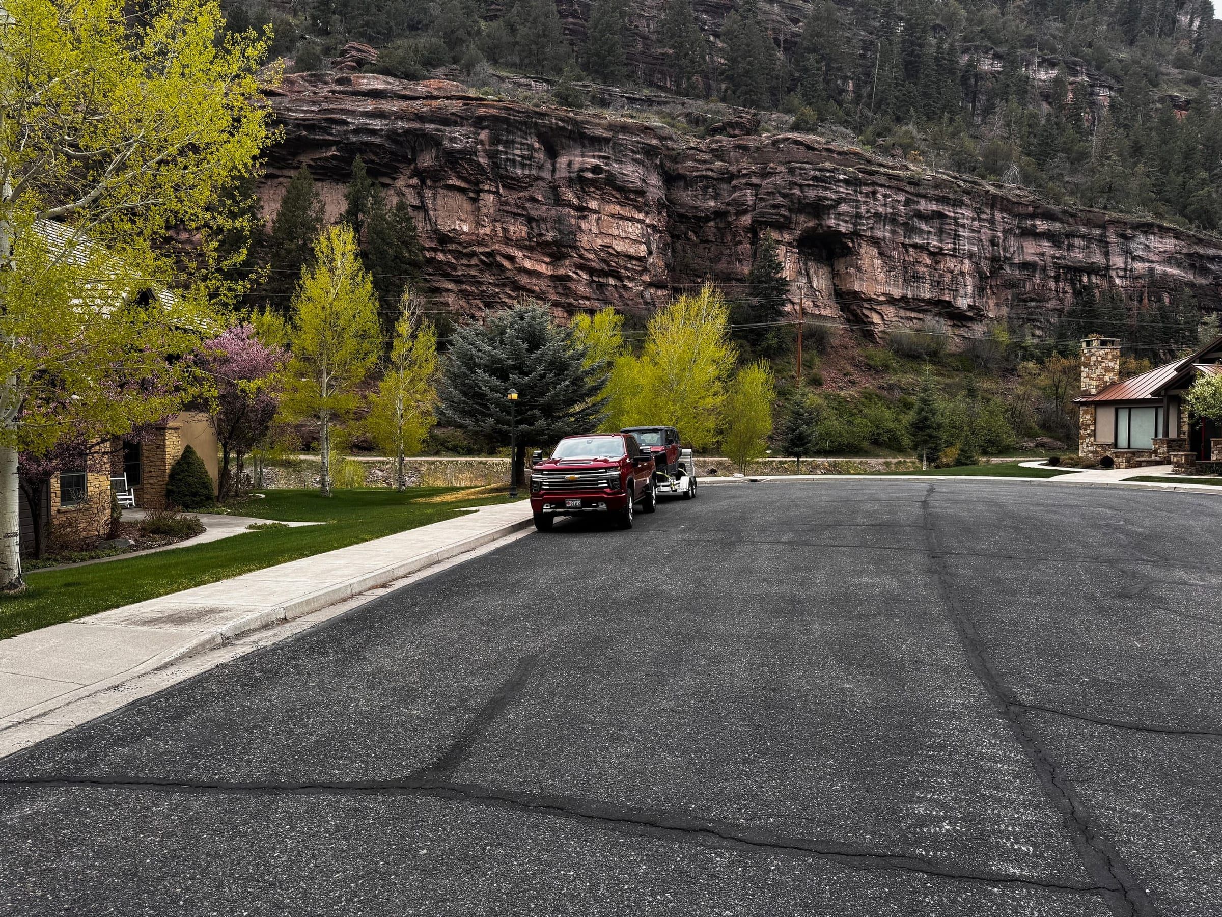
Explore
Ouray sits at about 7,700 feet, boxed in by the San Juans on three sides.
Fall colors usually peak in late September to early October.
Mountain conditions change fast. Check official sources and COtrip.org before you go; all activities are at your own risk.
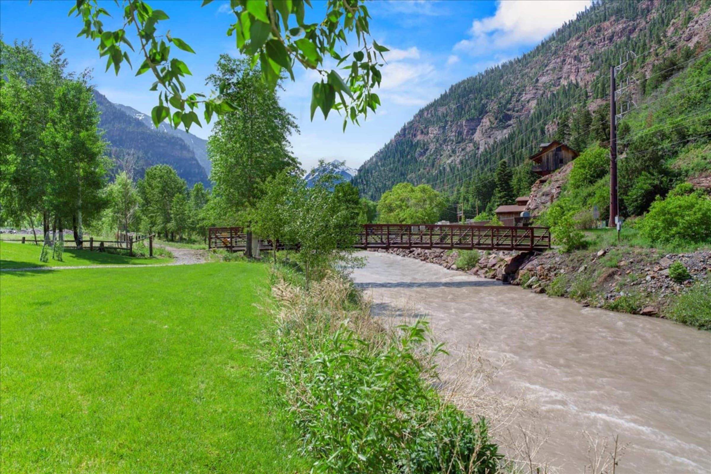
Uncompahgre River Walk and Rotary Park
A mostly level 2-mile loop along the river, groomed for cross-country skiing in winter. Rotary Park has a playground, climbing boulders and, weather permitting, a winter ice rink with free skates.
From the houseAt the door
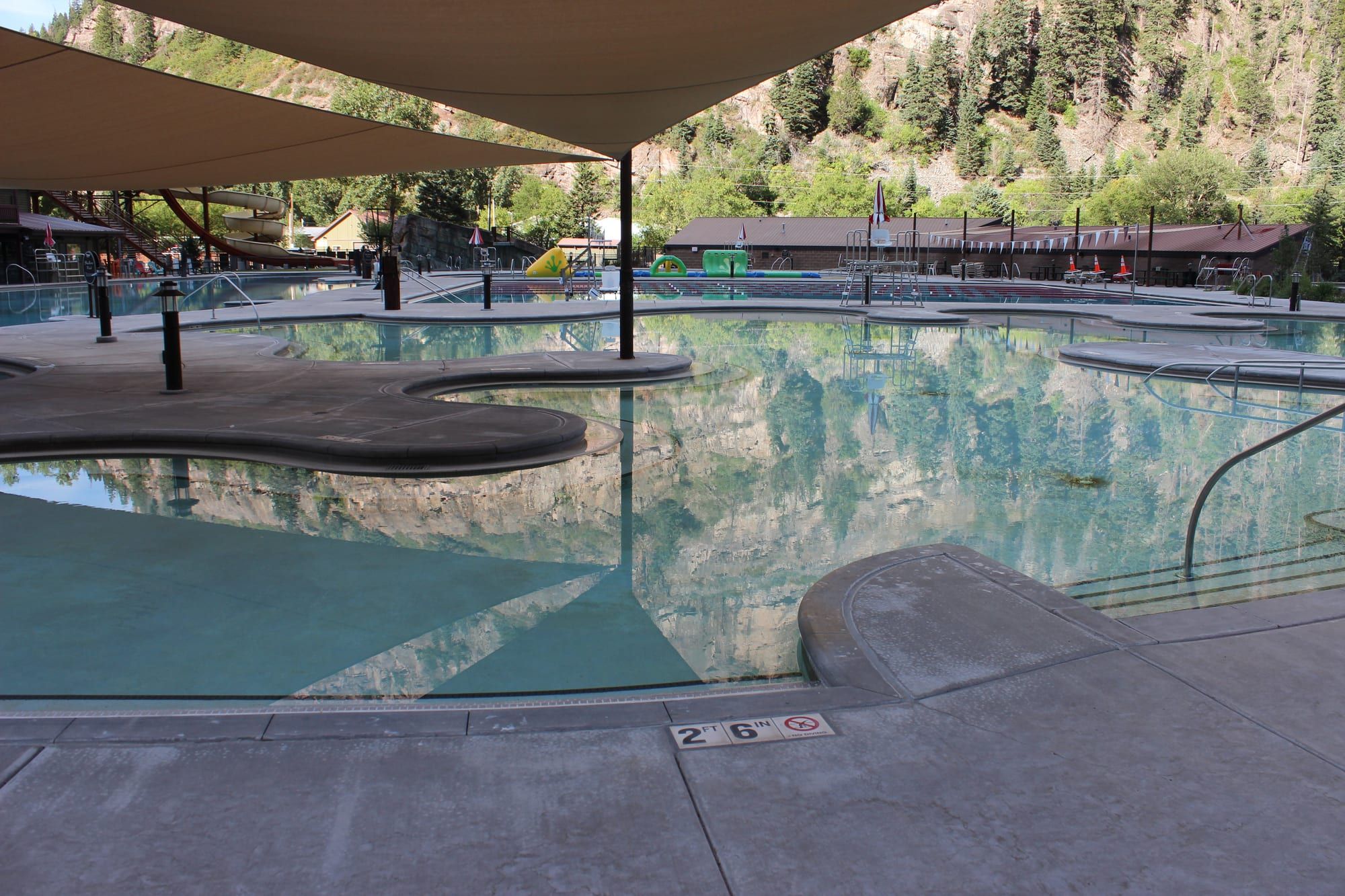
Ouray Hot Springs Pool
The city pool at 1220 Main opened in 1927 and was rebuilt in 2016 to 2017. The Overlook Pool runs 102 to 106°F. Adults (18 to 64) $30.
From the houseAbout 1 mile, 15 to 20 minutes on foot
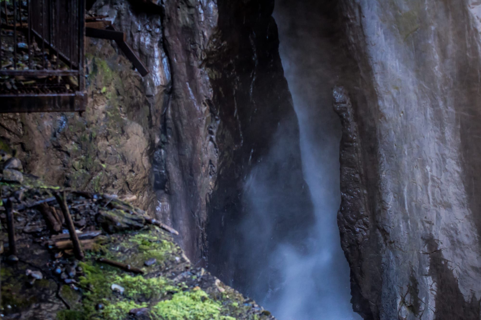
Box Cañon Falls Park
Canyon Creek drops 285 feet into a narrow quartzite slot. The High Bridge trail is a half-mile round trip. Adults $8. Usually closes for the season in early November.
From the houseAbout 2.3 miles, a 6-minute drive
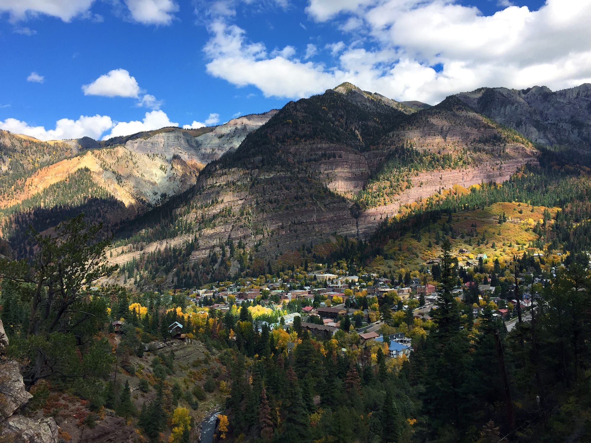
Perimeter Trail
A 5.6-mile loop around town with about 1,800 feet of climbing, four waterfalls and six bridges.
From the houseTrailhead about 15 to 20 minutes on foot
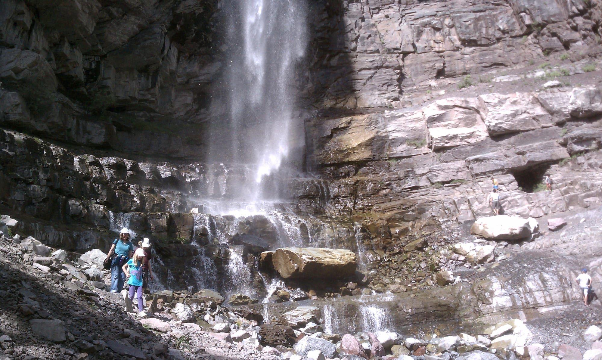
Lower Cascade Falls
A quarter-mile walk from the end of 8th Avenue to the base of a 270-foot waterfall you can see from much of town.
From the houseAbout 35 minutes on foot
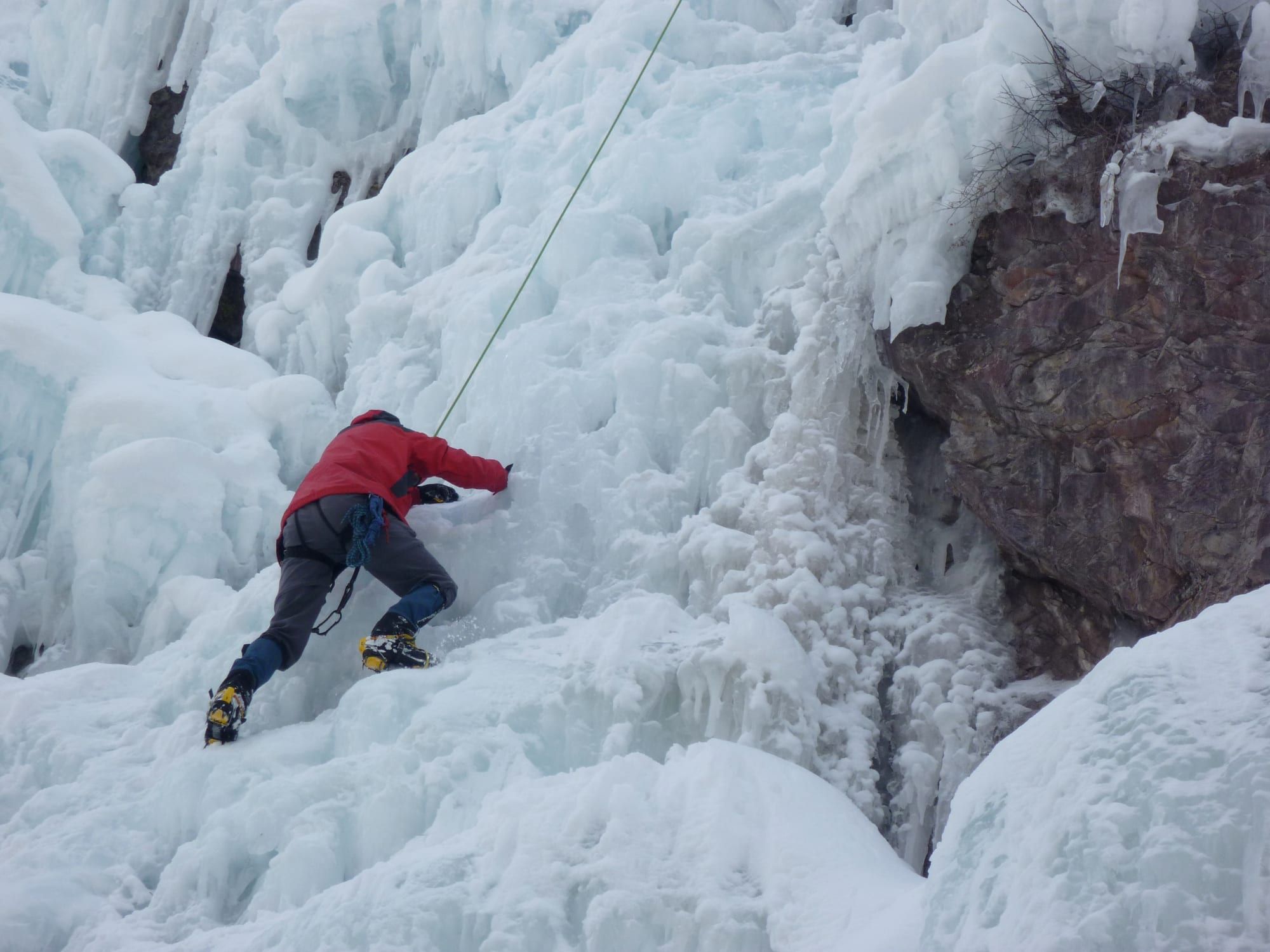
Ouray Ice Park
More than 150 free ice and mixed climbs along almost 2 miles of the Uncompahgre Gorge. Usually open from mid or late December to mid-March.
From the houseAbout 2.5 miles, drive
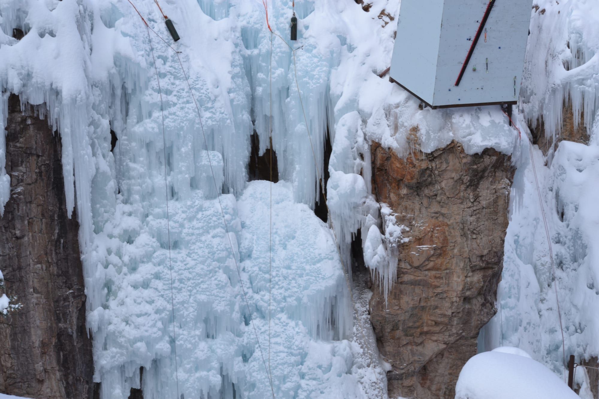
Ouray Ice Festival
Every January. 2026 was the 31st. The 2027 dates aren't posted yet (one festival calendar lists Jan 28 to 31).
From the houseAbout 2.5 miles
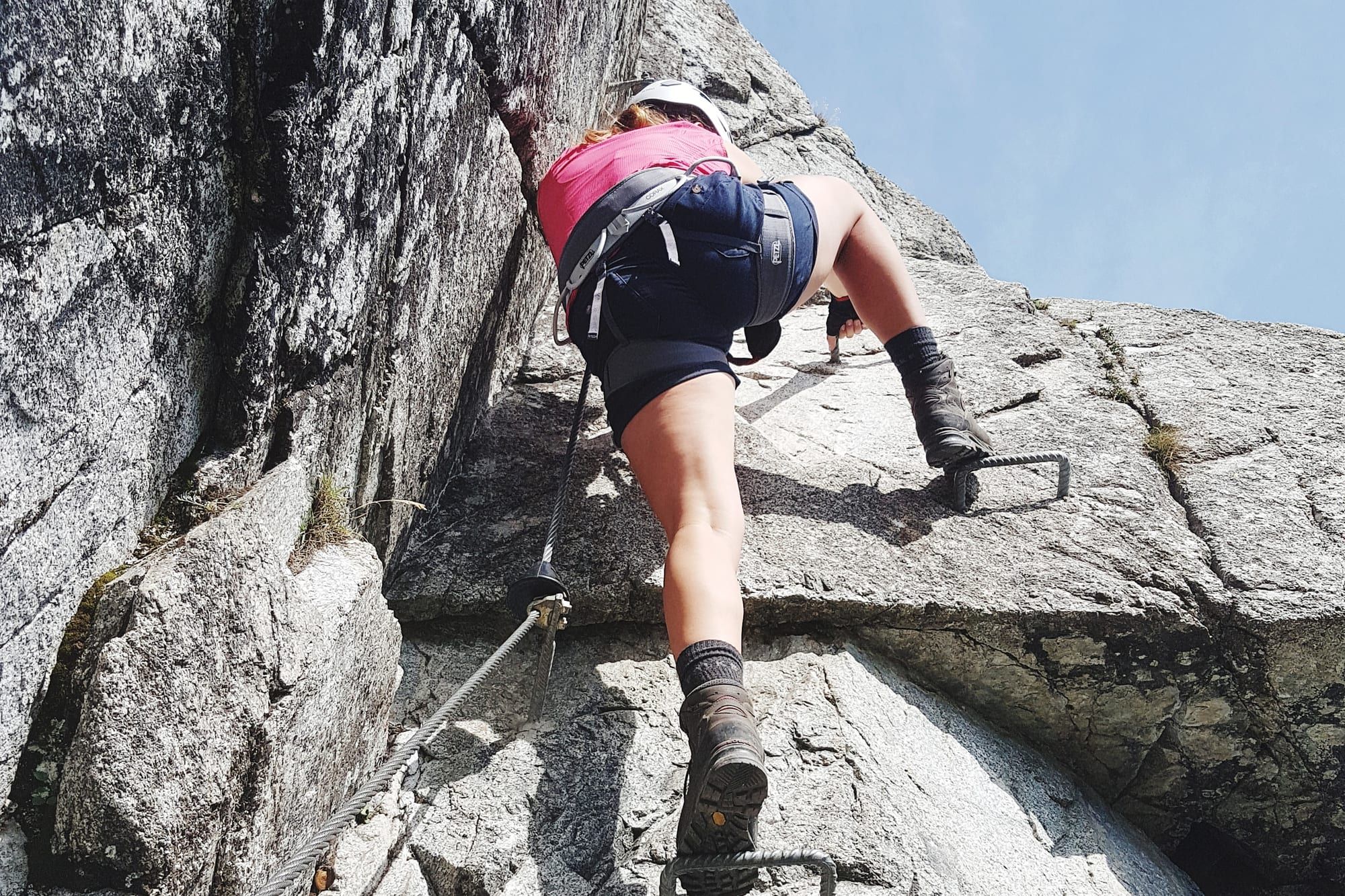
Ouray Via Ferrata
A free cable-and-rung route in the gorge, opened in 2020, with about 4,000 feet of cable. You need a harness, helmet and lanyard; gear rents for about $45 in town.
From the houseAbout 2.5 miles plus a half-mile hike
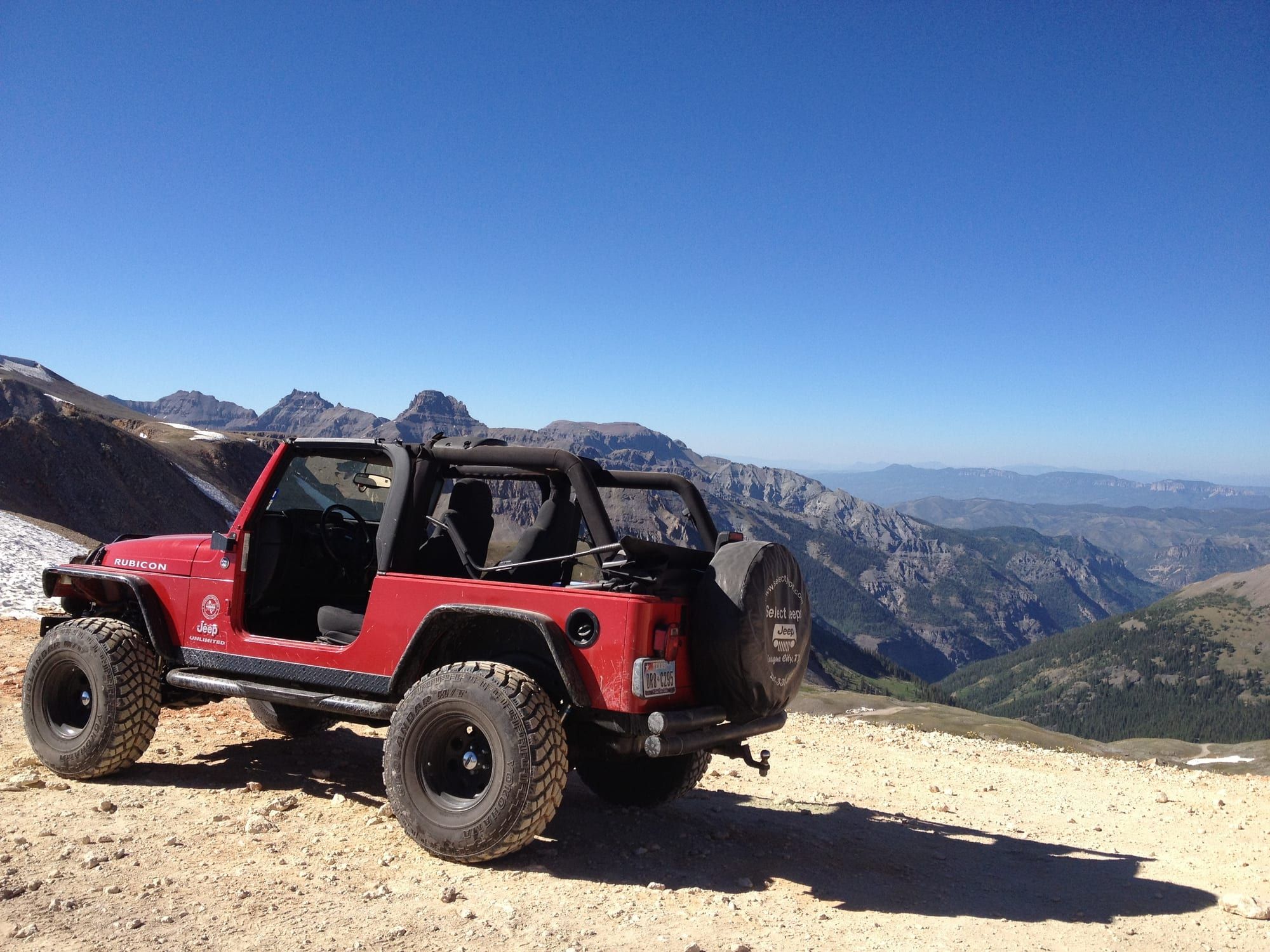
Jeep roads
Yankee Boy Basin, Corkscrew Gulch, Imogene Pass (13,114 ft, about 18 miles over to Telluride) and Black Bear Pass (one-way down, for experienced drivers only). Usually open from late June or July to the first heavy snow. Switzerland of America Jeep Tours has run tours since 1962 and rents Wranglers.
From the houseCounty Road 361 starts about 2 miles south
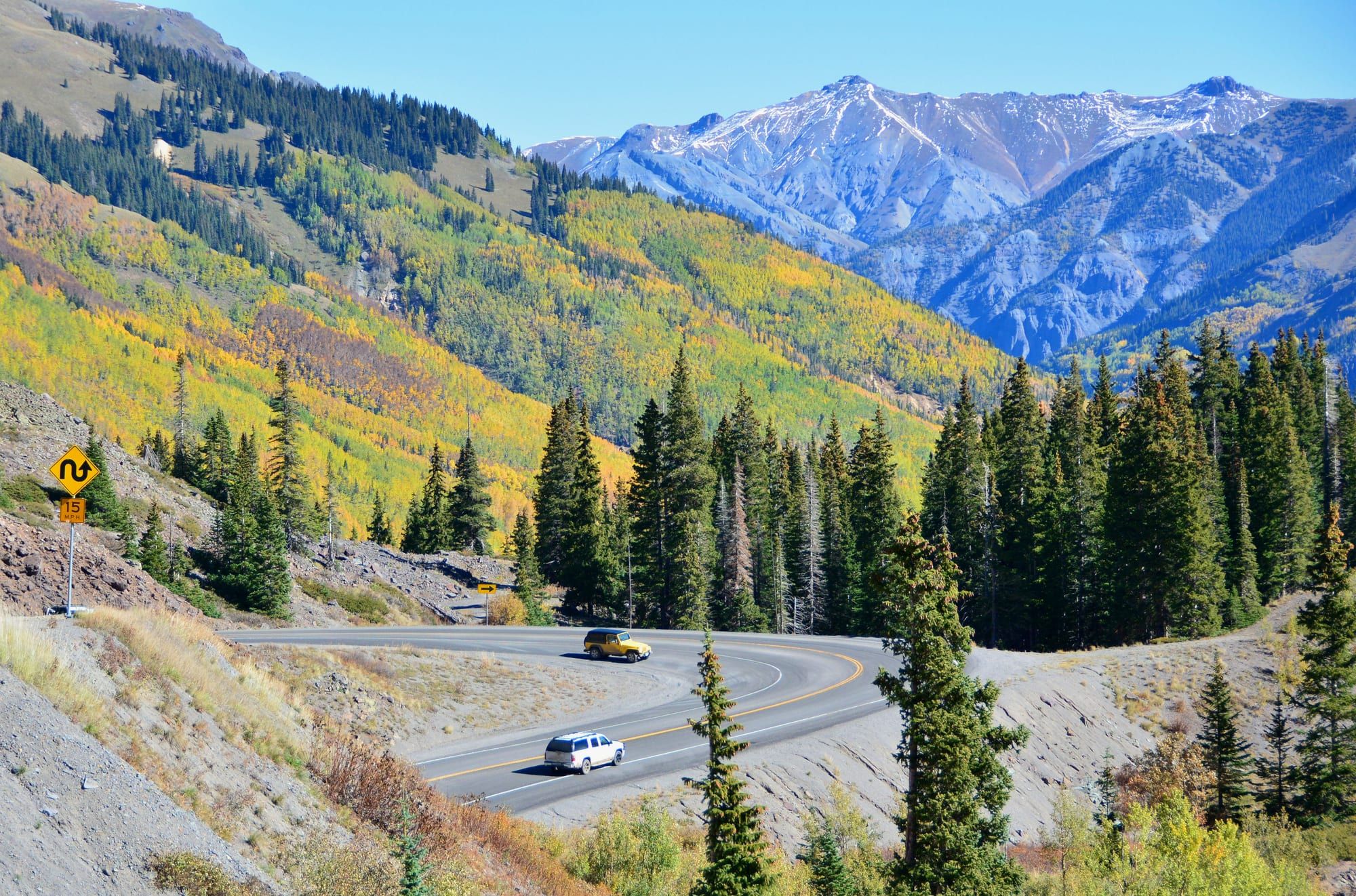
Million Dollar Highway to Silverton
23 miles of US 550 over Red Mountain Pass (11,018 ft), about 45 minutes each way. Open all year, but storms and mudslides can close it; check COtrip.org before you go.
From the houseStarts at the south end of town
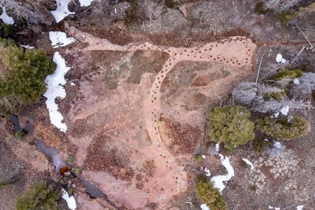
West Gold Hill Dinosaur Tracks
134 footprints left by one long-necked sauropod more than 150 million years ago, in a 106-yard trackway that loops through a 270-degree turn. The Silvershield Trail climbs about 1,600 feet in 2 miles to reach it, at 9,300 feet. Parking at the trailhead is limited.
From the houseTrailhead about 10 minutes on foot
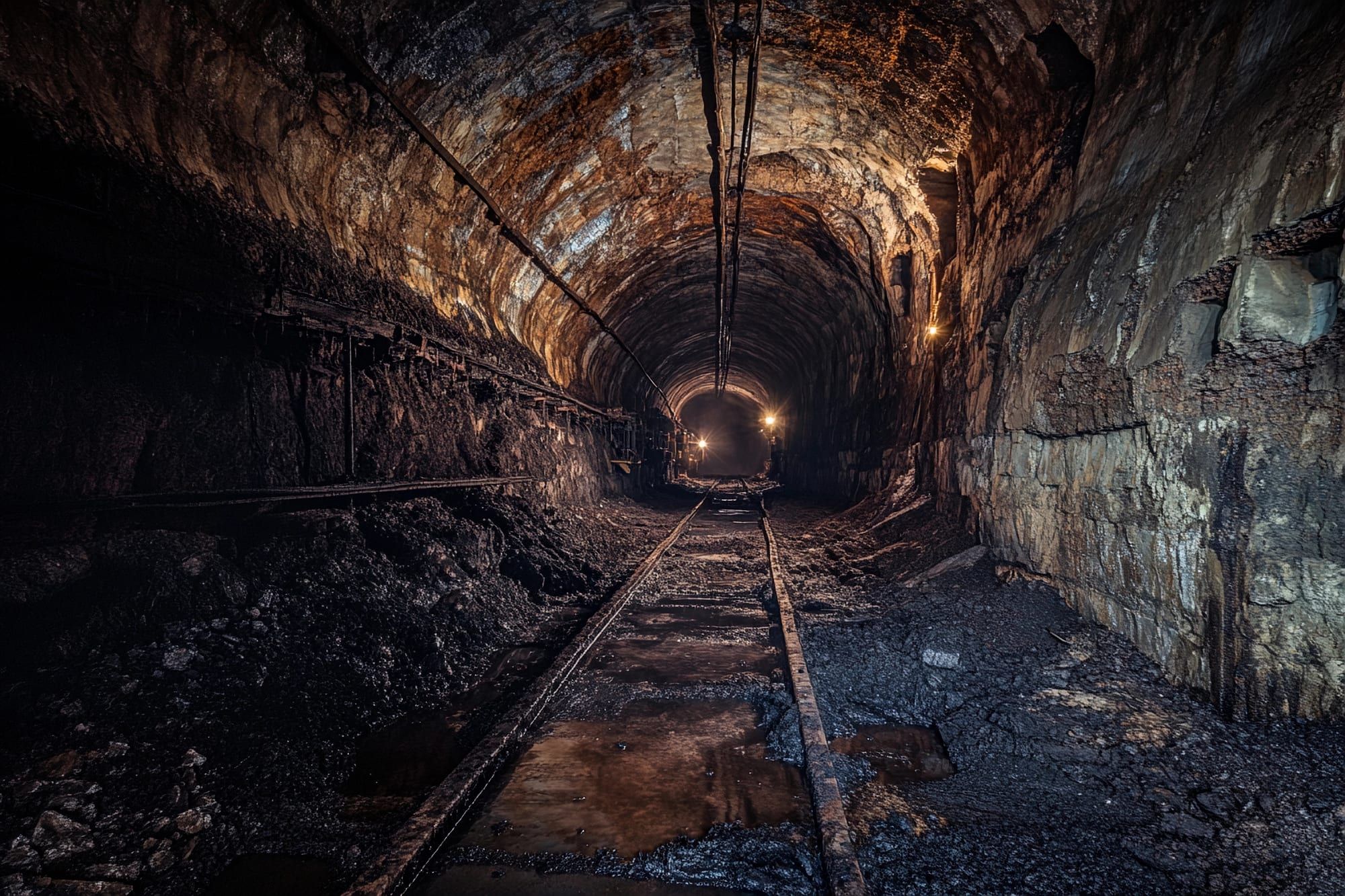
Bachelor-Syracuse Mine Tour
A guided walk into a historic mine on mostly level gravel, about 10 to 15 minutes each way underground. It stays about 52°F inside all year, so bring a jacket. Adults $25, ages 5 to 15 $14. The Gold Mountain Fire closed it for part of 2026; it has since reopened.
From the houseAbout 1.5 miles north, a 5-minute drive
Getting here
Montrose Regional Airport (MTJ) is about 37 miles, roughly 45 minutes. Telluride is 47 miles, about an hour.
Photo credits
- Ouray Hot Springs Pool: “Ouray Hot Springs Pool” by DiScience, CC BY-SA 4.0, cropped and resized
- Box Cañon Falls Park: “IMG_3647a” by mark byzewski, CC BY 2.0, cropped and resized
- Perimeter Trail: “Ouray, Colorado from Perimeter Trail” by Jason Pawela, CC BY-SA 4.0, cropped and resized
- Lower Cascade Falls: “Cascade Falls. Ouray, Colorado” by Carl Mikoy, CC BY 4.0, cropped and resized
- Ouray Ice Park: “South Park” by Laurel F, CC BY-SA 2.0, cropped and resized
- Ouray Ice Festival: “DSC_0509” by Lena Heffern, CC BY 2.0, cropped and resized
- Jeep roads: “Rubicon overlooking Ouray” by Adam Barhan, CC BY 2.0, cropped and resized
- Million Dollar Highway to Silverton: “Highway 550 (the Million Dollar Highway) between Silverton and Ouray in Colorado (29466637288)” by Mike McBey, CC BY 2.0, cropped and resized
- West Gold Hill Dinosaur Tracks: “West gold hill dinosaur tracksite USDA Forest Service” by USDA Forest Service, Public domain, cropped and resized


